After I had a few
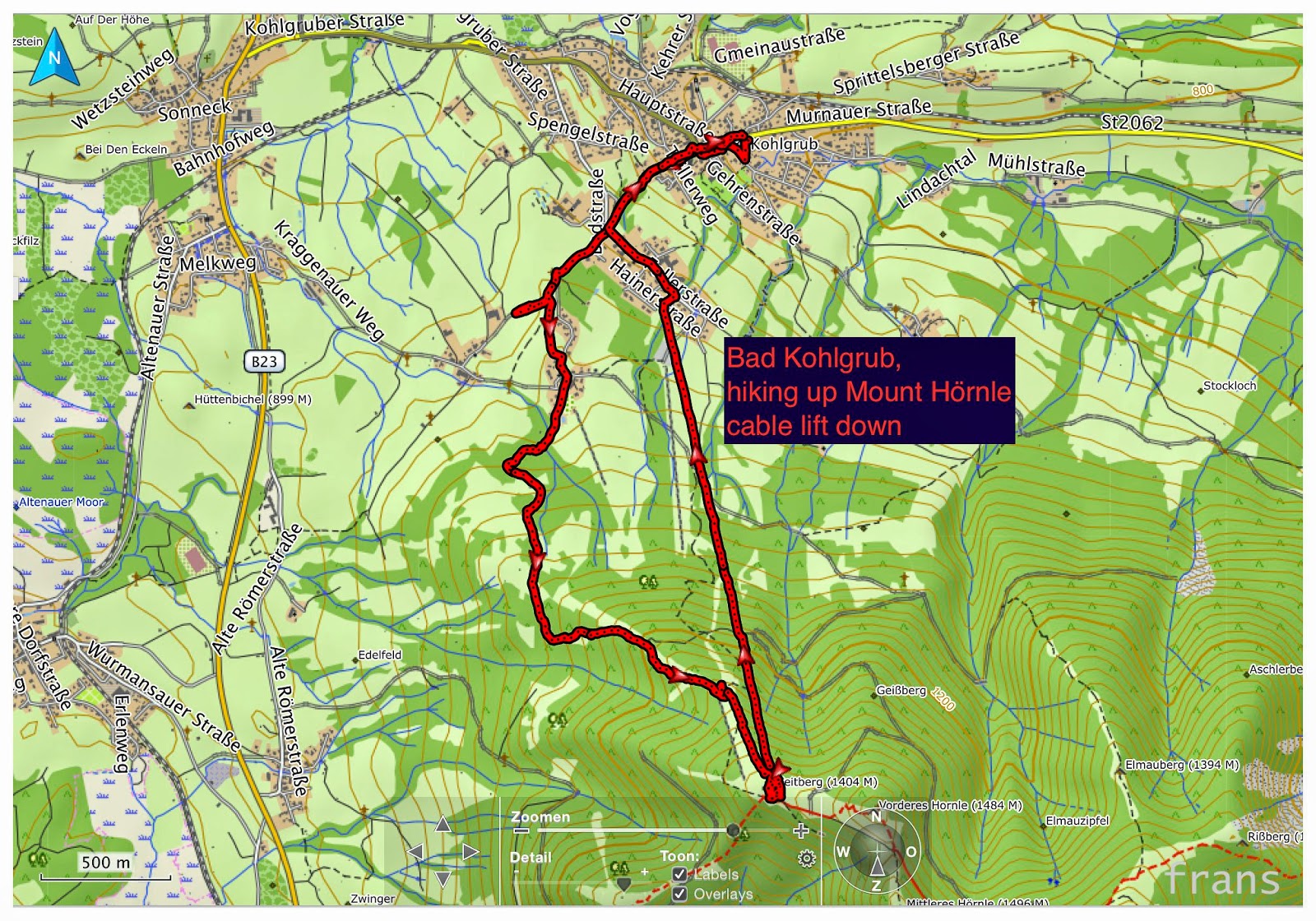
espressos the sun seemed to temporarily break through the mist so I stepped into my hiking boots and followed a track which I'd planned in the little Oregon 600 gps from Garmin.
The steep path up with a gradient of 20º taking me from 830m above sea level to 1440m proved enough of a challenge for me to decide to take the cable lift down instead of hiking down on the other side of the mountain, which was a designated ride for fast sleighs anyway.
The views were magnificent.
 |
| Altitude |
 |
| Was surprised to read the high temps but turned out the temp tag was snug against my back for 3km |
 |
| Skipped the hike up to the highest point |
 |
| Ready to go back |
 |
| Back in the village |


Reacties
wat een prestatie en wat zal je genoten hebben van de prachtige uitzichten!!!
Liefs Els